


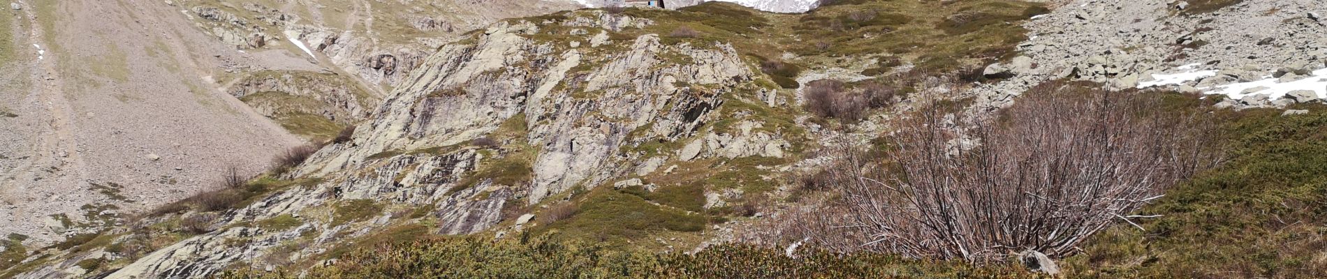
Refuge de Charbournéon.

Dervalmarc
User
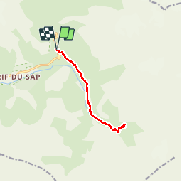

Length
11.7 km

Max alt
2035 m

Uphill gradient
542 m
Km-Effort
18.9 km

Min alt
1547 m

Downhill gradient
541 m
Boucle
Yes
Creation date :
2019-05-30 11:07:33.513
Updated on :
2019-05-30 18:14:41.167
4h50
Difficulty : Medium

FREE GPS app for hiking
 SityTrail
IGN / Geographical institutes
SityTrail Plus
The world is yours!
About
Trail Walking of 11.7 km to be discovered at Provence-Alpes-Côte d'Azur, Hautes-Alpes, La Chapelle-en-Valgaudémar. This trail is proposed by Dervalmarc.
Description
Longue marche d'approche pour un refuge de fond de vallée.
Compter 12 km aller/retour.
Photos


Positioning
Country:
France
Region :
Provence-Alpes-Côte d'Azur
Department/Province :
Hautes-Alpes
Municipality :
La Chapelle-en-Valgaudémar
Location:
Unknown
Start:(Dec)
Start:(UTM)
285208 ; 4968327 (32T) N.
Comments